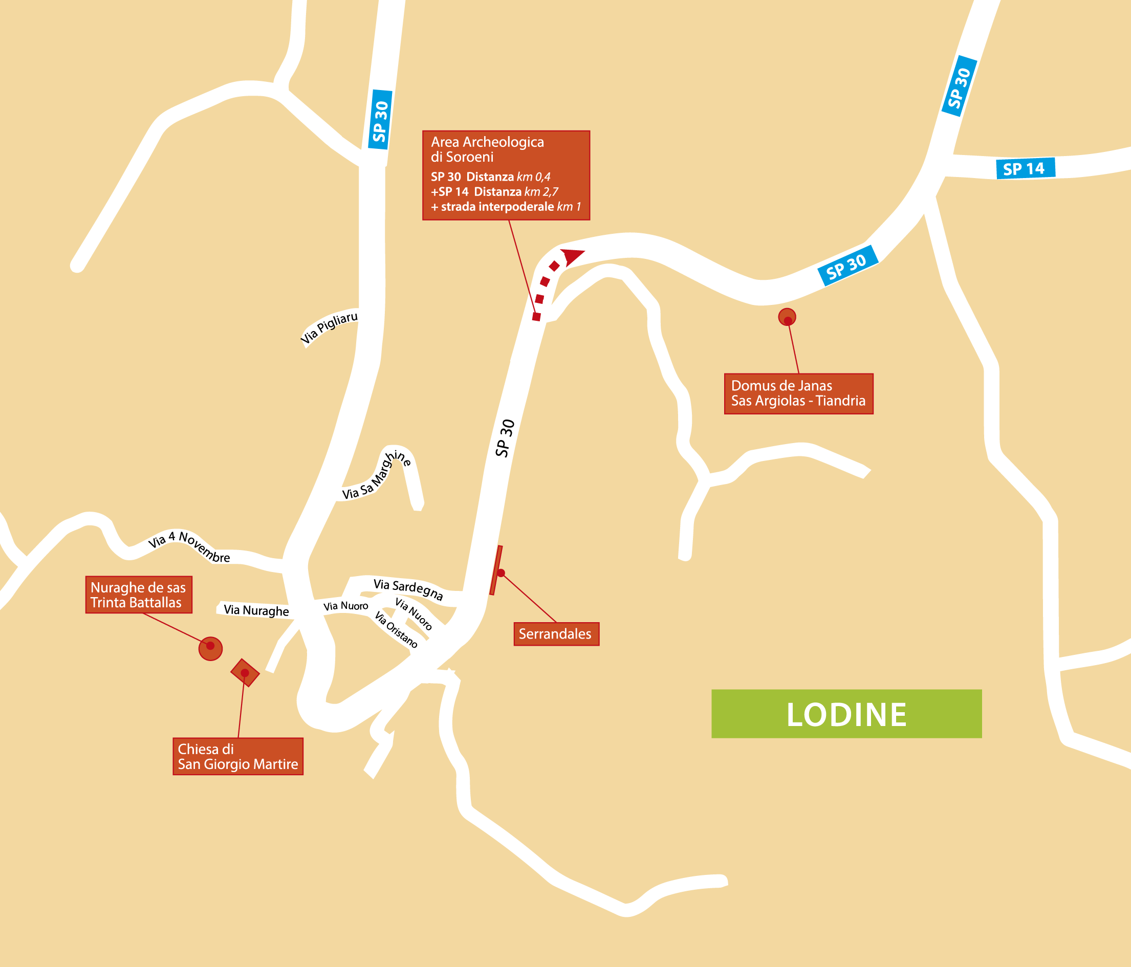
Archaeological site Soroeni
The archaeological site of Soroeni lies over a granite plateau – named ‘Sa Itria e di San Cosimo’ after the two nearby sanctuaries – in the Su Punteddu area, at 875 m above sea level.
The nuraghe is located deep in a forest of mostly holm and cork oaks that make its tower look smaller than it is. It was built on a granite outcrop: rows of stones were placed along some of its sides to complete the tower. The entrance is hidden by vegetation, whereas at the base of the rock there are several natural cavities, some of which are quite large.
With its springs and streams flowing through vast pastures from the Gennargentu massif, the area was perfect for early settlers.
The site was known by locals for its two domus de janas and was included in Taramelli’s Archaeological Maps of Sardinia in the 1930s. Until the 1970s, the area was also used as a quarry.
In the early 2000s, the Archaeological Department of Sassari and Nuoro ordered that excavations be carried out to defend the site against quarriers and tomb raiders. The excavations, which took place between 2001 and 2004 and were led by archaeologist Carmela Cidu, revealed seven nuraghe huts, four rooms dating back to the Early Middle Ages, several shelters under the rocks, and the external structure and outer wall of the nuraghe.
Archaeologists also found an abundance of coins, pottery and bronze artefacts dating back to Roman times, suggesting that the area was continuously inhabited from the Neolithic until the Early Middle Ages. This was most likely due to both the characteristics of the area and its proximity to an arterial road that up until the 19th century was known as the ‘road of Campidani’, since it was traditionally used by shepherds moving their herds during the transhumance period.
The most important finds from the archaeological excavation at Soroeni are displayed at the National Archaeological Museum in Nuoro.
Text by Laura Melis